
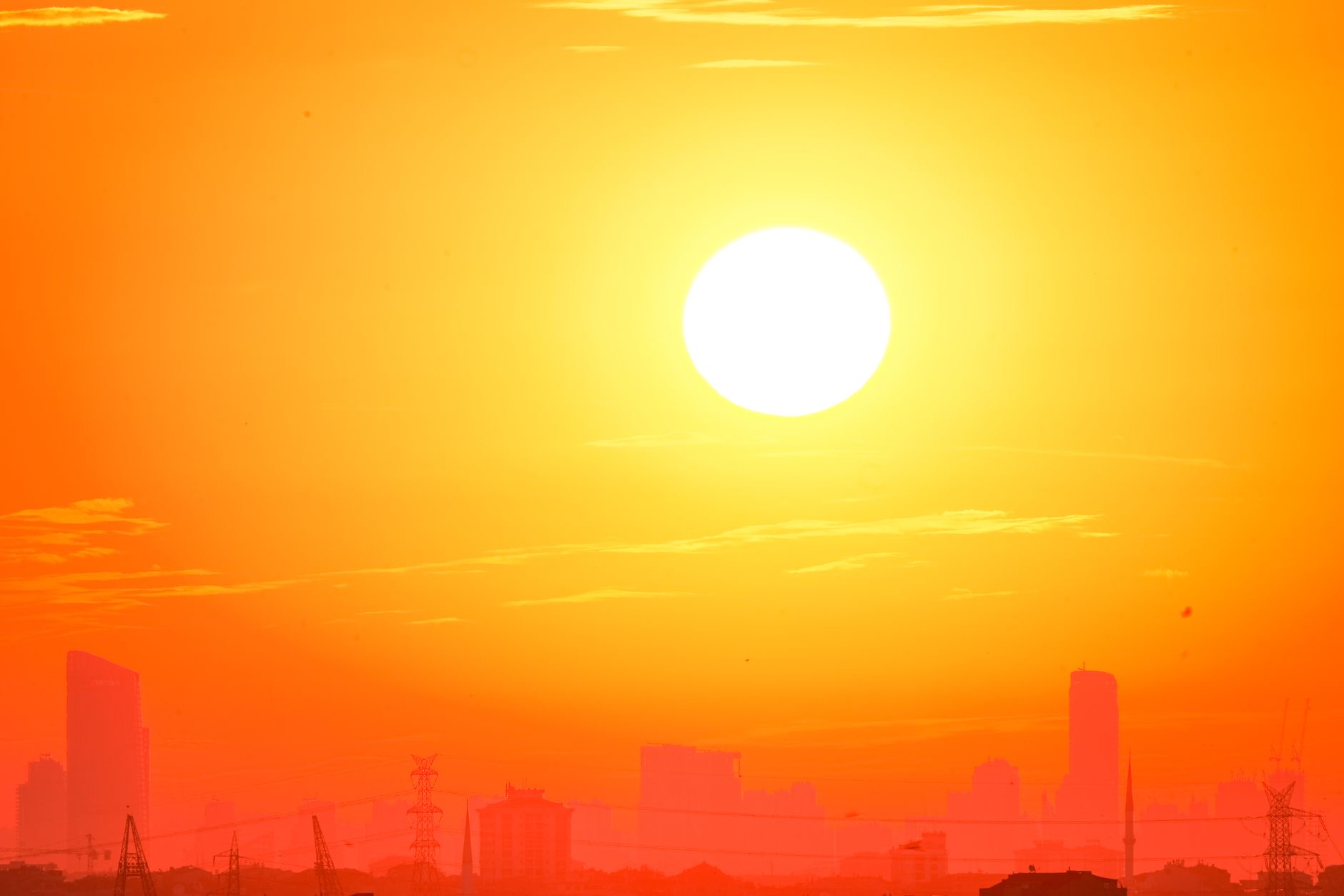
Federal forecasters and local officials across the eastern United States were still issuing cautionary “notes” on the weather Sunday after a July Fourth weekend in which extreme heat, severe thunderstorms and air-quality concerns reshaped public celebrations from Philadelphia to Washington and kept emergency managers focused on mass-gathering safety.
The National Weather Service said hot temperatures were expected again along the Mid-Atlantic, Southeast and lower Mississippi Valley, while heavy to excessive rainfall from thunderstorms in parts of the Midwest and Mid-Atlantic could bring flooding. The agency also warned that severe thunderstorms posed a risk of damaging wind gusts in the Mid-Atlantic. That outlook followed a holiday period in which weather was not a side detail but a core operational issue for civic events, transportation planning, public health messaging and emergency response.
The assigned phrase “Truth or Satire: The Weather Has Notes” captured the oddity of the moment: several developments that might have read like exaggeration were real. In Philadelphia, organizers canceled the Salute to Independence Semiquincentennial Parade, a major America 250 event, as the city faced dangerous heat. 6abc reported that an Extreme Heat Warning remained in effect for the Philadelphia region, with city temperatures expected around 100 degrees through Saturday and heat-index values expected between 105 and 112 degrees, or even higher, around the canceled parade window.
The cancellation was especially striking because the parade had been tied to the country’s 250th birthday celebrations in the birthplace of American independence. Organizers had already shortened the route before canceling the event outright. According to 6abc, the parade had been expected to include floats, 42 marching bands and performers moving through central Philadelphia. Other programming went forward with delays or adjustments, underscoring the uneven choices facing officials: cancel events with prolonged exposure, move people indoors where possible, push start times later, and keep fireworks or evening concerts dependent on storms and public-safety conditions.
In the Washington region, the weather remained a live public-safety issue after a stormy Fourth of July. WTOP reported Sunday morning that the D.C. area was under both a Heat Advisory and a Code Purple Air Quality Alert, with heat-index values up to 105 and storms possible. The outlet reported that the National Weather Service had issued a Heat Advisory from 10 a.m. to 8 p.m. Sunday and that the District’s Extreme Heat Alert was in effect through 8 a.m. Monday. Officials warned that daytime conditions could feel at or above 105 degrees while overnight temperatures could remain near 80.

Those overnight readings matter because heat risk is not limited to the hottest hour of the afternoon. Warm nights reduce the chance for buildings, streets and bodies to cool down, raising the danger for older adults, people without reliable air conditioning, outdoor workers, unhoused residents and people with chronic health conditions. The District encouraged residents to stay hydrated, take breaks in air-conditioned spaces and check on vulnerable neighbors. That kind of messaging has become standard during heat events, but the holiday weekend gave it extra urgency because people were gathering outdoors for long periods, often after travel, alcohol consumption or hours in dense crowds.
The weather also complicated air quality and storm response. WTOP reported that showers and thunderstorms were expected in the D.C. region Sunday afternoon and evening, with stronger storms capable of damaging wind gusts and heavy rain raising the risk of localized flooding. The unsettled pattern was expected to continue Monday, with additional showers and thunderstorms likely and potential urban flooding before gradual improvement Tuesday.
In practice, that meant cities were managing overlapping risks rather than one clear threat. Heat advisories told people to avoid prolonged outdoor exposure; thunderstorm risks told them to watch for fast-changing conditions; air-quality alerts told sensitive groups to limit exertion; flooding potential raised concerns for roads, transit, basements and low-lying areas. For large public events, those warnings can pull in different directions: shade and hydration help with heat, but open fields and temporary structures can become hazards in lightning or high winds.
The National Weather Service language also highlighted why forecast discussions and advisories have become more important to the public. Weather apps can reduce conditions to icons and percentages, but official statements often carry the operational detail: which hazard is most dangerous, when conditions may peak, what kind of flooding is possible, and whether storms are likely to produce damaging winds. For emergency managers, those notes shape decisions about staffing, staging ambulances, delaying fireworks, changing routes, closing roads, activating cooling centers and messaging crowds before conditions deteriorate.
The weekend’s disruption came during a dense civic calendar. America 250 events brought out large crowds in historic cities, while the summer travel season and World Cup-related gatherings added to outdoor exposure in several metro areas. That mix made weather a national civic-life story rather than a local inconvenience. When heat forces a parade cancellation in Philadelphia or an alert remains in effect in Washington after National Mall storms, the impact extends to police overtime, transit schedules, tourism spending, volunteer staffing, live broadcasts and public expectations around major national anniversaries.
The public-safety challenge is also reputational for cities and organizers. Canceling a marquee event can frustrate attendees, performers and businesses that planned around holiday crowds. Proceeding can create health risks and emergency surges if heat illness, dehydration, lightning or flooding overwhelms response teams. The Philadelphia example showed that organizers may first try compromises — shorter routes, earlier starts, delayed shows — before conditions force broader changes. In Washington, officials continued to communicate heat and air-quality precautions even after the main holiday night passed.
For residents, the actionable guidance remained simple but important: follow official alerts, avoid treating heat as ordinary summer discomfort, move strenuous activity out of peak afternoon hours, drink water before feeling thirsty, seek cooling spaces, avoid flooded roads, and check on people who may not receive or act on alerts. For eventgoers, the weekend showed that the most important schedule update may not come from the concert promoter or parade host, but from the forecast office.
By Sunday, the weather story had become less about a single canceled parade or delayed fireworks show than about a larger shift in how U.S. communities manage mass gatherings during compound summer hazards. The weather had notes, and those notes were not comic relief. They were the difference between celebration, delay and cancellation.
Leave a Reply